


Integrated six-module system
Wide-angle camera (1/1.3 CMOS, 48 MP, f/1.7, 24 mm equivalent focal length), 3x optical zoom (1/1.3 CMOS, 48 MP, f/2.8, 70 mm equivalent focal length), 7x optical zoom (1/1.5 CMOS, 48 MP, f/2.8, 168 mm equivalent focal length), thermal camera (640 x 512 resolution, infrared super-resolution support up to 1280 x 1024), NIR auxiliary light with an illumination range of up to 100 m and a laser rangefinder with a measuring range of up to 1800 m.
Using the thermal camera
The thermal camera with a resolution of 640 x 512 pixels (super-resolution up to 1280 x 1024 px) offers precise analysis of thermal anomalies. This feature is useful for identifying damage on energy installations (solar panels and similar), monitoring temperatures in industrial processes and detecting hidden heat sources in security operations. It is also used for searches, surveillance (firefighters, hunting associations), inspections and more. In agriculture, it can monitor crop health through thermal and visual data, enabling timely interventions.
Excellent performance in low light
Night mode enables full-colour imaging with an IR cut filter and NIR auxiliary light. A large aperture and intelligent low-light capabilities improve operations at dusk and at night. Six HD low-light fisheye lenses improve visual positioning and obstacle avoidance in low-light conditions.
Powerful zoom capabilities
The 3x optical telephoto lens is ideal for mid-range inspections, revealing details such as bolts and cracks from up to 10 metres away. The 7x telephoto camera with 48 MP resolution captures details from up to 250 metres away. Advanced stabilisation technology ensures sharp, stable images even at higher zoom levels, while electronic dehazing improves image clarity in foggy or humid conditions.
Advanced search and rescue system
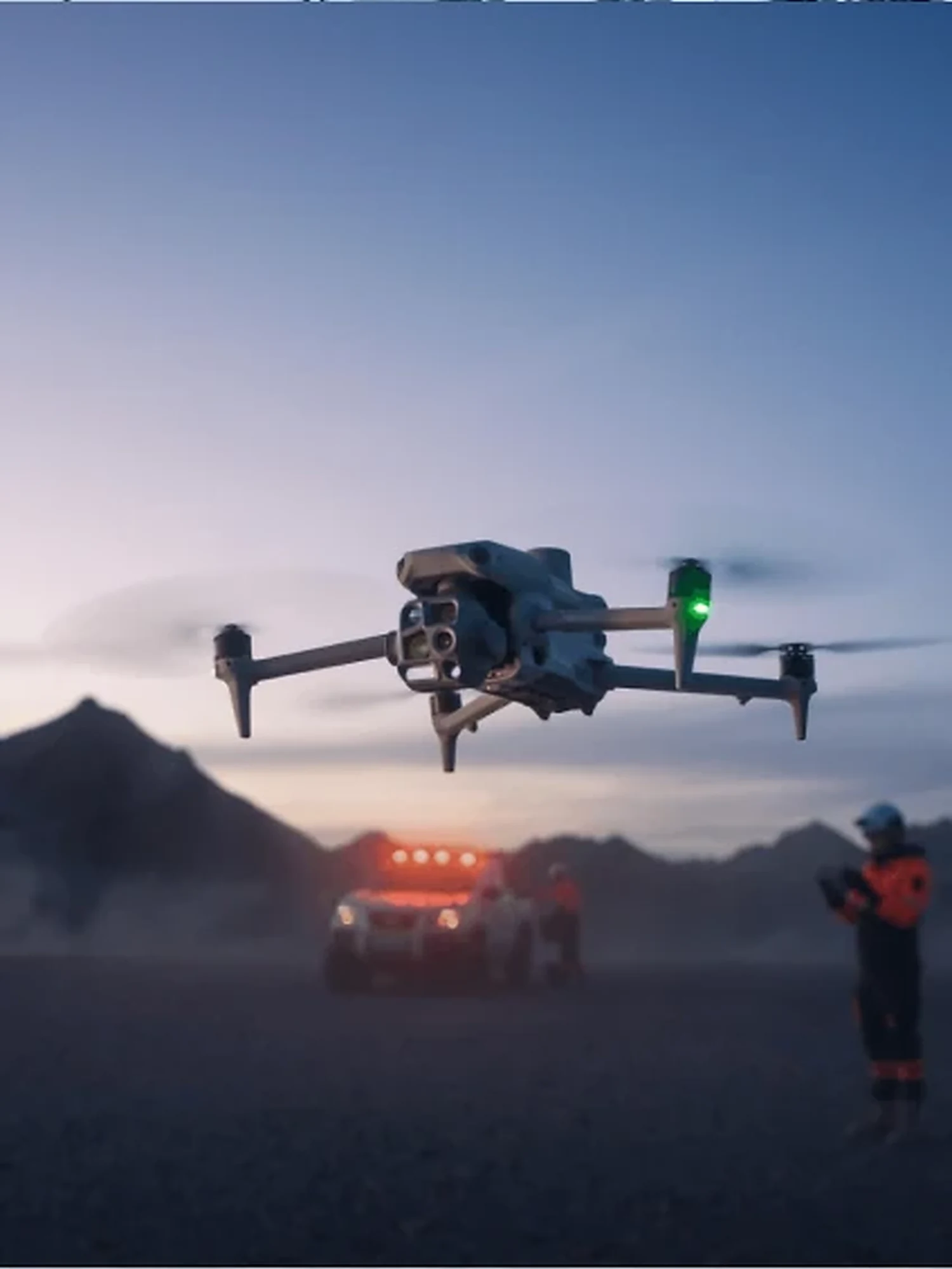
The DJI Matrice 4T is equipped with multiple sensors and AI models that allow it to recognise and track objects such as people, vehicles and vessels. The combination of optical and thermal cameras enables detailed real-time analysis of the surroundings, even in difficult lighting conditions. The area mapping function ensures that no area is missed during a mission. DJI Pilot 2 records and displays the areas the camera has covered on a map, ensuring that no area is overlooked. The built-in laser rangefinder provides real-time measurements up to 1800 metres, useful for marking points, planning lines or calculating areas.
AI features of the DJI Matrice 4T
The DJI Matrice 4T is equipped with advanced AI capabilities that significantly improve operational efficiency. The integrated AI model can recognise vehicles, vessels and people during search and rescue missions or routine flights. This allows faster identification of targets and reduces reaction time.
In addition, the Matrice 4T supports customisable object recognition models, allowing users to train the AI system to recognise specific objects or scenarios relevant to their operations. This adaptability makes the drone extremely versatile for various industrial applications.
During flight, the AI system can automatically mark and track identified objects, giving operators valuable real-time information. This capability is especially useful in situations where continuous monitoring of specific objects or areas is required.
Integrating AI technology into the DJI Matrice 4T enables more efficient and precise operations, reduces the need for manual monitoring and analysis, and allows faster decision-making based on the data collected.
The integrated GNSS+Vision positioning and navigation system enables fast take-off within 15 seconds and updating of the home point through visual positioning, even without a GNSS signal. Automatic obstacle data collection and a five-direction visual assistance system increase situational awareness for safer flights.
Integration with the DJI ecosystem
The drone is compatible with DJI FlightHub 2 and DJI Terra software. FlightHub 2 enables drone fleet management, real-time mission monitoring and flight planning. DJI Terra provides advanced tools for creating 2D and 3D maps, enabling fast and accurate analysis of the data collected during a mission.
These additional features make the DJI Matrice 4T a tool tailored to professionals in industries such as energy, public safety, construction and emergency response.
Choice of accessories
Compatible with a spotlight that follows the gimbal’s movement and a speaker for live broadcast; the D-RTK 3 multifunctional station; and the DJI RC Plus 2 Enterprise controller.