


RGB + thermal imaging
A planned mission covers the plant and collects the data needed for comparative analysis.
Professional drone surveying for technical, spatial and visual tasks. LiDAR, photogrammetry, RGB and thermal sensors turn a flight into photos, video, models, maps and findings you can use.
We define the scope of each mission according to the goal, location, regulations and conditions on site. That is why we first choose the data you need, and only then the flight and the equipment.
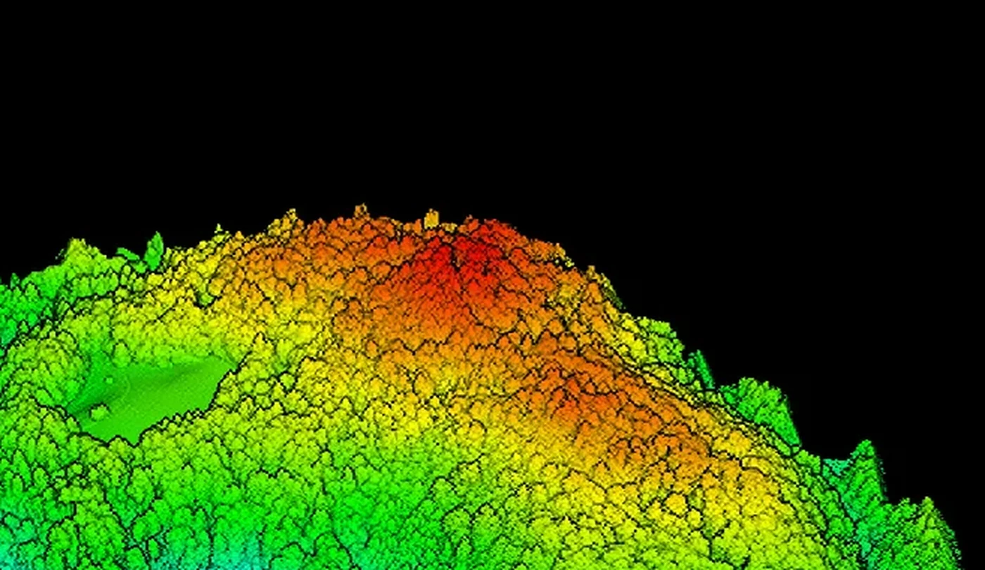 01 LiDAR / 3D
Dense 3D point cloud, terrain model and base data for planning, forestry and infrastructure.
Details ↘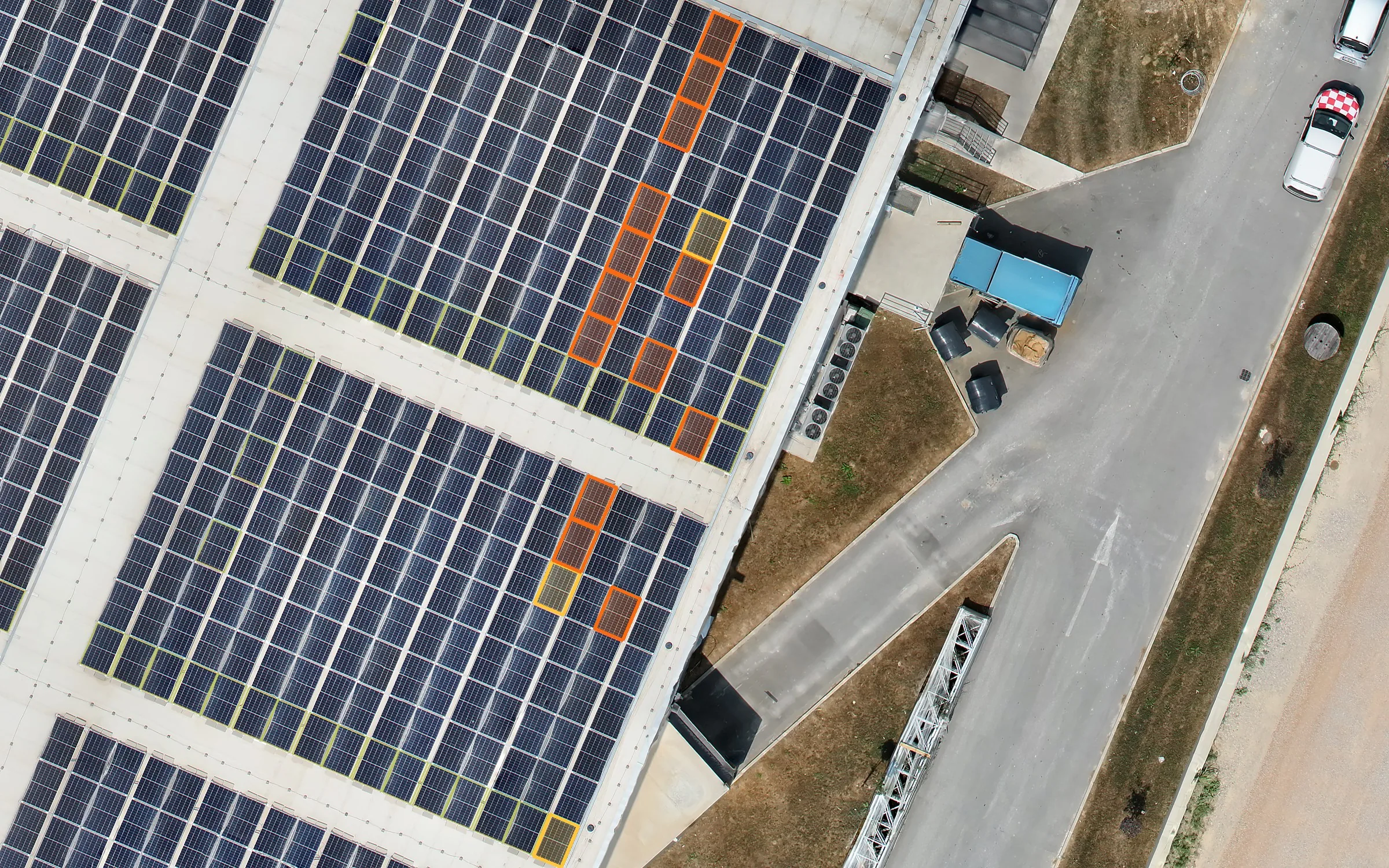 02 SOLAR AI / RGB / IR
Detection of panels and anomalies, side-by-side RGB/thermal evidence, a priority map and a maintenance report.
Details ↘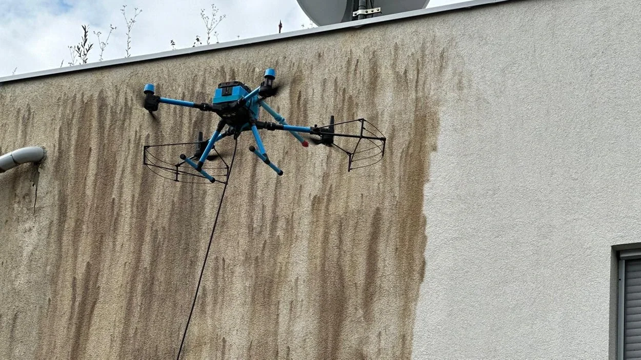 03 FACADES / SOLAR
Drone cleaning of facades, roofs and solar panels with a water supply, without scaffolding or work at height.
Details ↘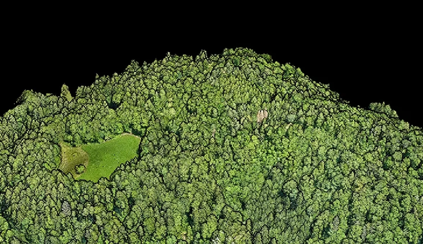 04 MAP / MODEL
Orthophoto, photogrammetric models, volumetrics and documentation of changes on site.
Details ↘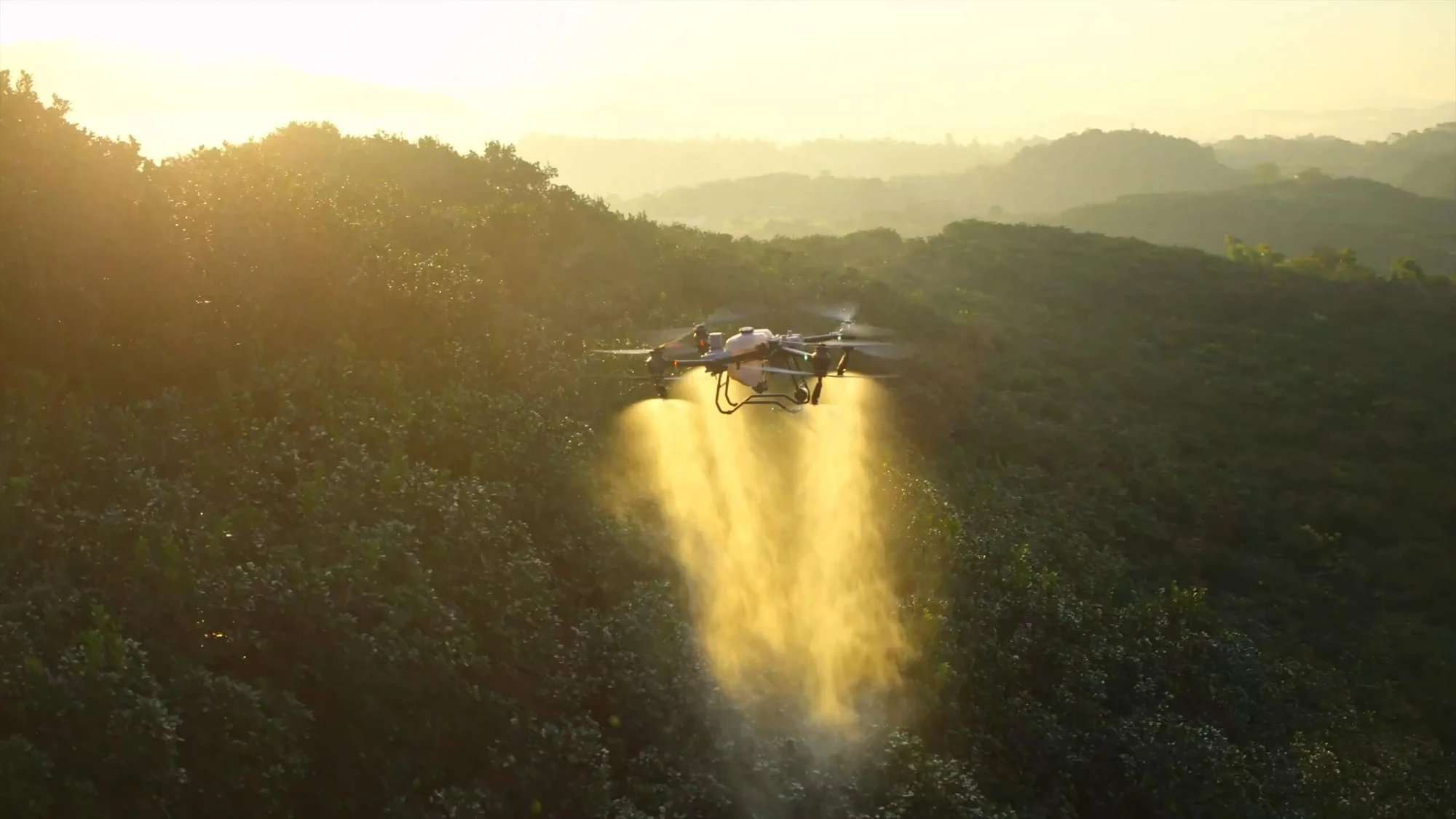 05 NDVI / TREAT
Multispectral surveys, crop condition mapping and targeted spraying and spreading as agreed.
Details ↘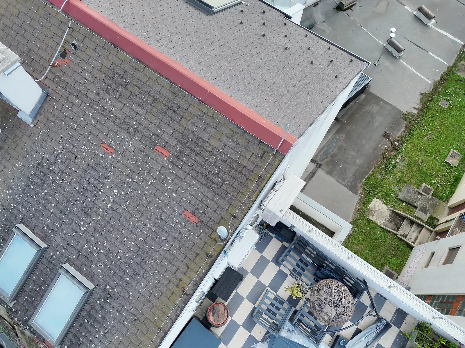 06 ROOF / BIM
Documenting as-built condition, construction progress, roofs, facades and infrastructure corridors.
Details ↘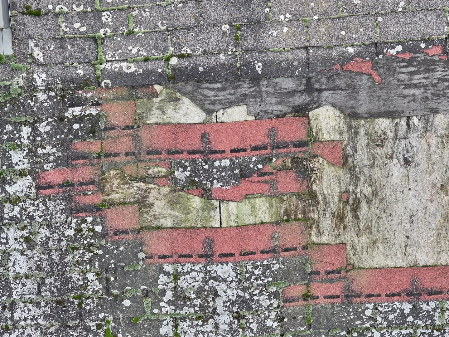 07 LOCATE / DOC
Photo, thermal and 3D documentation of the aftermath of storms, fires, floods or crop damage.
Details ↘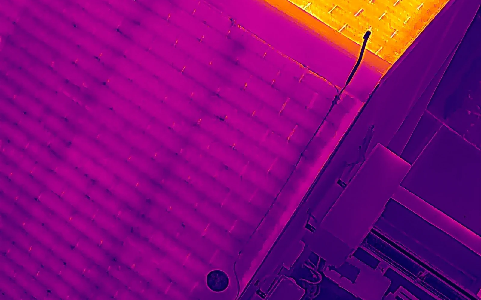 08 IR / BUILDINGS
Heat loss, thermal bridges and signs of moisture on the roofs and facades of houses, buildings and halls.
Details ↘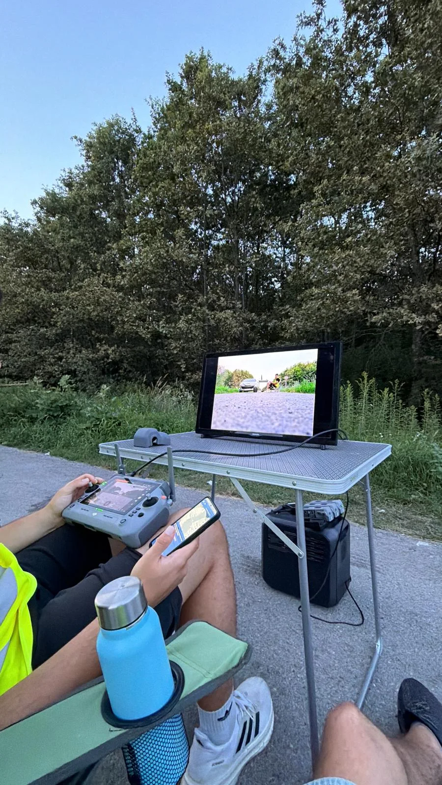 09 SEARCH / THERMAL
RGB and thermal survey of a wider area and coordination with the owner and the ground team.
How the search works ↘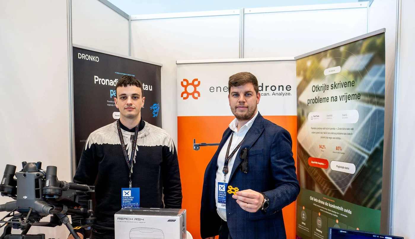 10 A1–A3 / A2
Theoretical and practical preparation for safe operations, realistic scenarios and the A1/A3 and A2 categories.
Details ↘We combine RGB and radiometric thermal imaging with AI processing so that panels and suspicious areas can be isolated, geolocated and prepared for expert review and maintenance more quickly.
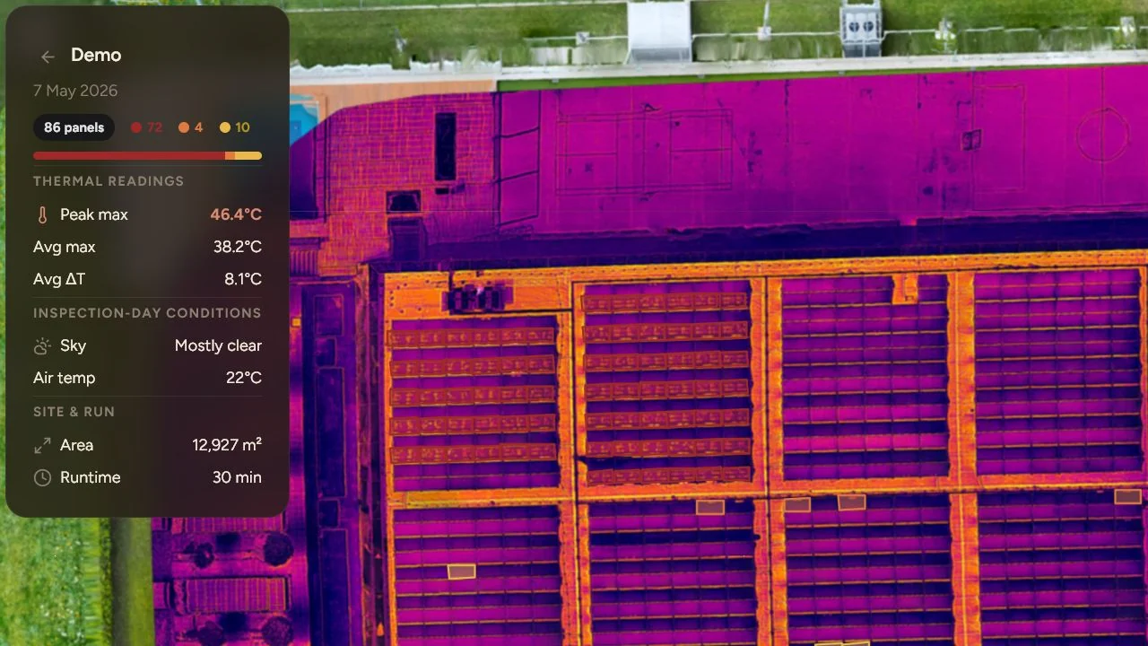
We do not just deliver a thermal photo. The platform organises findings at panel level and turns them into an overview that the technical team can filter, compare and include in the maintenance plan.
A planned mission covers the plant and collects the data needed for comparative analysis.
The system organises the panels and isolates unusual visual or thermal patterns.
Each finding gets a location, RGB/IR context and a priority level for further checks.
Results are delivered in a digital view and an agreed report, with the option of comparing repeated surveys.
A clear overview of a rooftop plant’s condition and alerts the owner can understand.
Analytics, finding history and maintenance priorities for commercial systems.
Overview of multiple sites, comparison of plants and portfolio management in one place.
LiDAR measures distance with laser pulses and creates a point cloud. Such a record helps when geometry, elevation differences, vegetation, corridors or hard-to-reach terrain matter.
Under some vegetation cover, part of the pulses can reach the ground, which makes it easier to create a terrain model. The result depends on vegetation density, the sensor, the flight plan and survey conditions, so accuracy and final deliverables are defined for each project.
Base data for design, planning works and understanding slopes or drainage.
Canopy structure, heights and terrain extraction where conditions and canopy density allow.
Documenting the route, surrounding terrain, vegetation risks and spatial relationships.
Monitoring changes, calculating fill or excavation and comparing surveys over time.
3D geometry available for further technical processing in the agreed format.
Less crew movement through risky zones thanks to aerial data collection, when flight conditions are safe.
A thermal camera registers temperature differences and can help spot an animal where it is hard to see with a regular camera or from the ground. The RGB shot gives terrain context, and we verify every detection before directing the ground team.
Last known location and time, a photo, description, direction of travel, temperament and the owner’s phone number.
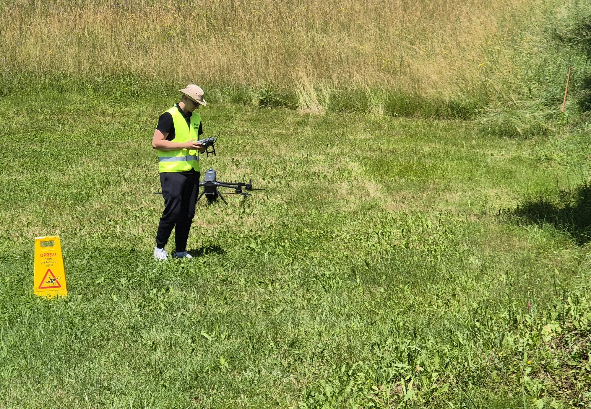
We check the terrain, airspace, weather, temperature and realistic flight coverage.
We search the agreed zones and check every potential detection in both views.
We pass the location and context of each sighting to the owner or the team and mark the zones already searched.
A thermal camera cannot see through walls, roofs or dense evergreen cover. Success depends on the terrain, weather, temperature, the animal’s behaviour and the time since it went missing. A search improves visibility of the area, but cannot guarantee that the animal will be found.
We do not just deliver footage. We agree on the format, level of processing, presentation and technical context your team needs.
Photogrammetric surveys for site overviews, condition documentation, volume calculations and spatial models. Accuracy and the control method are agreed according to the purpose of the project.
Multispectral imaging helps isolate zones with differing vegetation condition, and a field inspection confirms the cause. Spraying and spreading are planned according to the crop, product, regulations and conditions.
RGB and thermal surveys support the identification of visible and thermal anomalies on solar power plants, power lines and industrial equipment. Each finding is located and handed over to the team that makes the technical decision.
Aerial documentation of roofs, facades, construction sites, transport and utility corridors. Surveys over time make it easier to review progress and compare as-built conditions.
Rapid documentation after storms, floods, fires, vandalism or crop damage. The aerial perspective helps cover the entire area without unnecessarily entering a hazardous zone.
The programme combines rules, mission preparation, safety and practical scenarios. We adapt the content to beginners, operational teams and future professional use.
Location, area, deadline, expected deliverables and the decision the data should support.
Choosing the sensor, control points, airspace, safety measures and the best time slot.
Data collection with coverage and quality checks before leaving the site.
Agreed models, maps, footage or a report, with a clear explanation of what the data shows.
EnergizeDrone is a Zagreb-based team for professional technical and visual drone surveying. Depending on the task, we carry out LiDAR, photogrammetric, land, RGB and thermal surveys, solar power plant inspections and photo and video documentation in Zagreb and across Croatia.
A presentation shot, an orthophoto, a thermal finding and a LiDAR point cloud are not the same product. Before the flight we define what you need to receive, where the result will be used and which format suits your team.
What determines the price of a surveyBefore the appointment we check the coverage, obstacles, applicable airspace conditions, expected data quality and a realistic deadline. When the location or purpose requires an additional procedure, we state it before confirming the mission.
Guide to permits and preparationCan’t find an answer for your terrain or project? Send us the location and the result you want, and we can assess the best approach.
Send a questionEnergizeDrone is a Zagreb-based team for professional technical and visual drone surveying. Depending on the task, we carry out LiDAR, photogrammetric, land, RGB and thermal surveys, solar power plant inspections and photo and video documentation, after first checking the site and the required deliverables.
The price depends on the location, area, airspace, sensor, number of site visits, processing and delivery format. For an accurate quote, send the location, the purpose of the material, the approximate extent and the deadline; our reply includes the proposed approach and clearly listed items.
The required procedures depend on the location, airspace, type of operation and purpose of the footage. Before confirming a date we check the site and the applicable operating conditions. For details, read our drone permit guide and always check current official sources.
Not in every situation. LiDAR is strong for geometry, elevation relationships and certain vegetation conditions, while photogrammetry gives very rich texture and excellent results on clearly visible surfaces. We choose the method according to the goal, the terrain and the required deliverables.
No. A thermal camera registers the thermal radiation of the surfaces it can see. It can help spot an animal between vegetation or a thermal anomaly on an accessible surface, but it cannot see through a wall, a roof or a dense, opaque canopy.
Depending on the agreed package: a map of the plant and panels, geolocated findings, side-by-side RGB and thermal views, priorities for further checks and a digital or PDF maintenance report. The final technical diagnosis is confirmed by an appropriate specialist.
Often early in the morning, in the evening or at night, when the background is cooler and the temperature contrast is greater. Still, the assessment depends on the season, weather, terrain, airspace and the time since the pet went missing.
No. A drone improves visibility and speeds up the search of certain zones, but success depends on many factors. Before setting out we give an honest assessment of the conditions, access to the area and the realistic scope of the mission.
The location or coordinates, approximate area, a description of the terrain or structure, the desired result, the deadline and any available documentation. For a pet search we also need a photo, the last known location and time, and the owner’s contact details.
Depending on the service: processed photos and video, a PDF report, orthophoto, point cloud, 3D model, a tabular summary or an agreed CAD/GIS format. We define the format before the flight so the deliverables fit your process.
For a faster assessment, add the area, a description of the terrain or structure, the desired result and the deadline. For a pet search, send the last known location, the time the pet went missing and a photo.