





[our services]
Solutions tailored to your industry
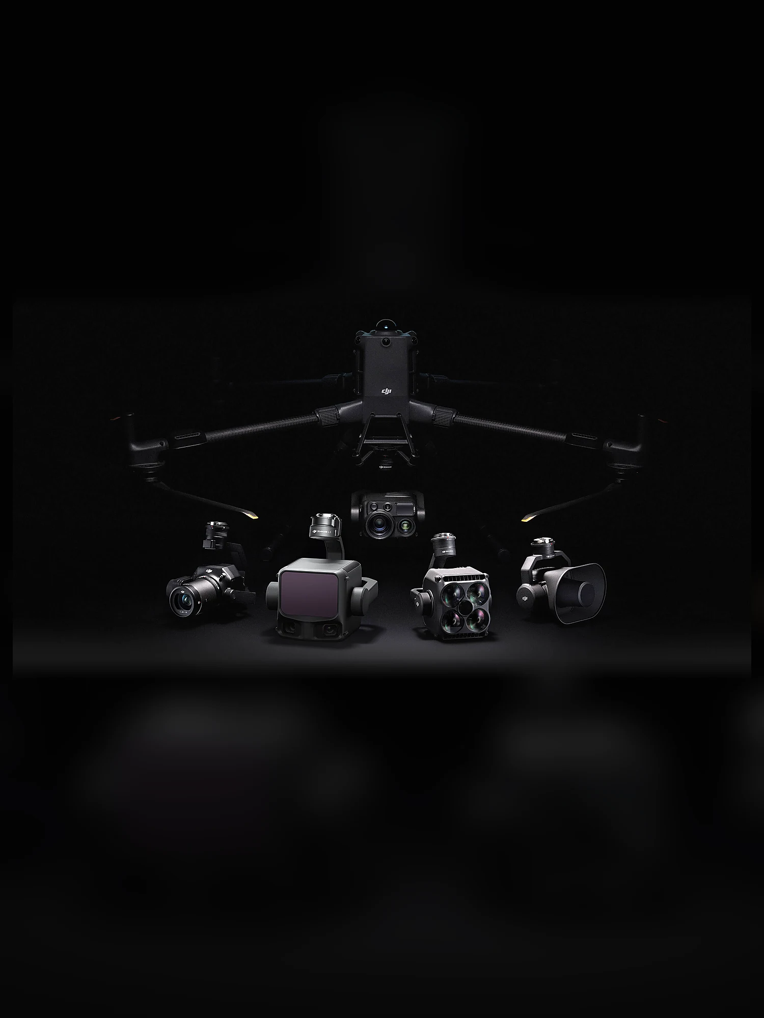
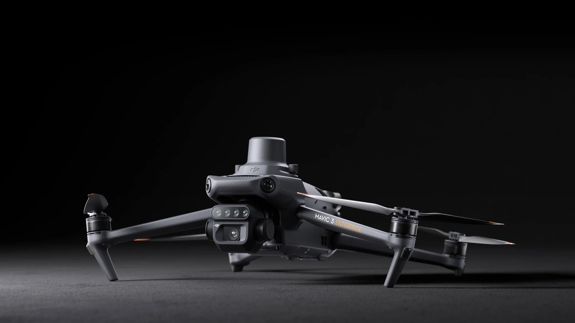
RGB and thermal cameras record visual and temperature patterns on solar power plants, roofs and industrial infrastructure. We organise the imagery to make expert review and maintenance planning easier, without presenting thermal imagery as a final diagnosis.
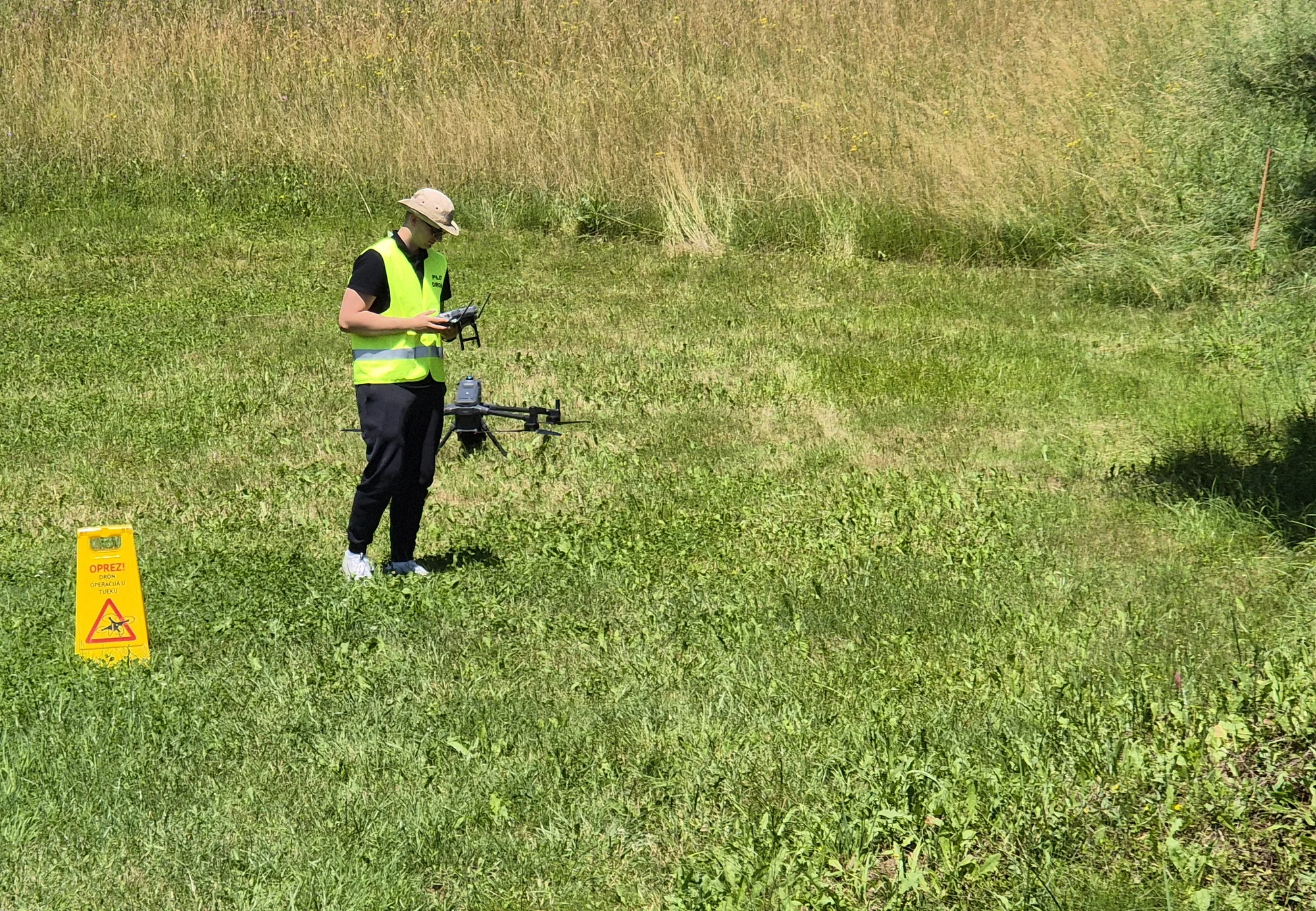
Training combines theory, safe flight planning and practical exercises for real operational scenarios. The programme can focus on preparing for A1/A3 and A2 and on the responsible use of drones in surveying, inspections and agriculture; official exam requirements should always be checked with the competent authorities.
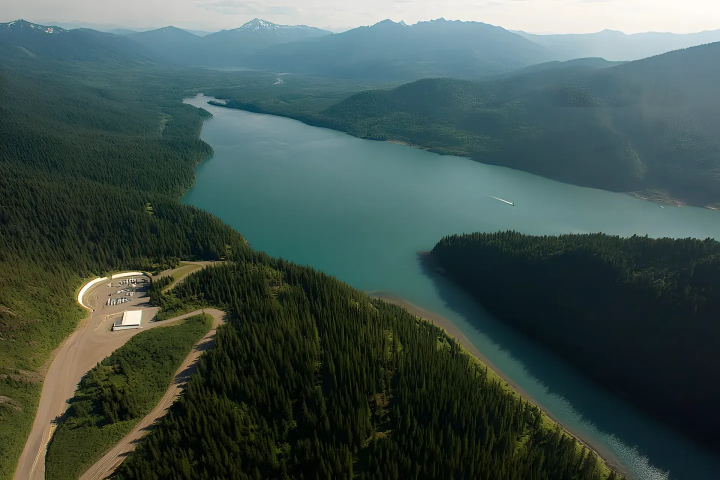
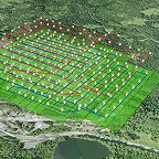
LiDAR surveying creates a dense 3D point cloud from which, depending on the project goal, terrain and surface models, contours, volume calculations and base data for CAD and GIS workflows can be produced. It is especially useful for complex terrain, infrastructure corridors and certain vegetation conditions. The sensor, flight plan, accuracy control and final deliverables are defined for each project.
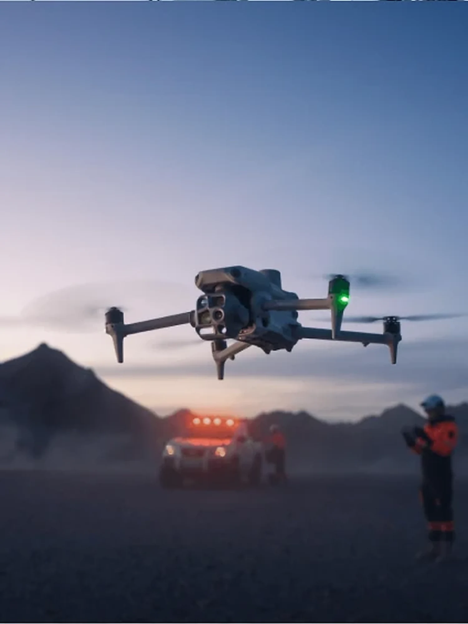
Combining RGB and thermal cameras, we search the agreed zones and confirm a potential detection before directing the owner or a ground team. A drone can speed up the search of open areas, forest edges and hard-to-reach terrain, but the result always depends on temperature, weather, vegetation and the animal’s behaviour and is not a guarantee of finding it.