


Effective aerial imaging must see the invisible
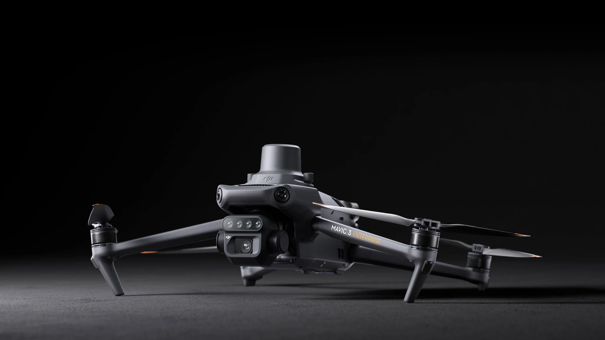
That is why the Mavic 3 Multispectral has two kinds of vision. It combines an RGB camera with a multispectral camera to scan and analyse crop growth with complete clarity. Managing agricultural production requires precision and data, and the Mavic 3M delivers both.
Highly integrated camera system
The upgraded camera system includes one 20 MP RGB camera and four 5 MP multispectral cameras (green, red, red edge and near infrared). It enables applications such as high-precision aerial surveying, crop growth monitoring and natural resource surveys.
5 MP multispectral camera
- Near infrared (NIR): 860 nm ± 26 nm
- Red edge (RE): 730 nm ± 16 nm
- Red (R): 650 nm ± 16 nm
- Green (G): 560 nm ± 16 nm
RGB camera – specifications
- Sensor: 4/3 CMOS – 20 MP
- Fastest mechanical shutter speed: 1/2000 s
- Interval shooting: 0.7 s when using the RGB camera
Sunlight sensor
The built-in sunlight sensor records solar irradiance and stores it in the image file, allowing light compensation during 2D reconstruction. The result is more accurate NDVI values and improved precision and consistency of data over time.
Precise images that capture every pixel
The Mavic 3M with an RTK module provides centimetre-level positioning. The flight controller, camera and RTK module synchronise within microseconds to precisely capture the position of each image centre. This enables high-precision aerial surveying without ground control points.
Efficient and reliable battery
- 43 minutes of cruising flight
- 200 hectares – a single flight covers an area of 200 ha
- 100 W charging hub | fast and efficient charging
- 88 W fast charging | for the aircraft
Stable signal, smooth video transmission
O3 transmission combines two transmitters and four receivers to support ultra-long transmission distances of up to 15 km.
Omnidirectional obstacle sensing and terrain-following capture
The aircraft uses wide-angle sensors that detect obstacles in all directions for comprehensive obstacle avoidance. Terrain-following capture is also possible, even on steep slopes.
Orchard mapping
The Mavic 3M can survey orchards while following the terrain, even on sloping ground. Combined with the DJI Terra or DJI SmartFarm platform, it reconstructs high-resolution orchard maps, automatically counts trees, distinguishes trees from other objects and creates three-dimensional routes for agricultural drones, making work safer and more efficient.
Guiding variable-rate applications
For rice fertilisation, cotton growth regulation and potato foliar feeding, the Mavic 3M captures multispectral images of crops. DJI Terra or DJI SmartFarm generate NDVI and other vegetation indices, record differences in crop potential and create prescription maps for precise treatments. This helps users reduce costs, increase yields and protect the environment.
Smart field scouting
The Mavic 3M can scout fields automatically. Images are transmitted in real time over a 4G network to DJI SmartFarm. The system detects irregularities such as poor emergence, weeds or crop lodging. It also uses AI analyses such as cotton plant recognition and rice yield testing. All crop growth information is available in real time, making it easier to manage agronomic activities and allowing one person to manage 70 ha of land.
Environmental monitoring and natural resource surveys
The Mavic 3M is also used for monitoring the environment and natural resources: water quality monitoring, forest surveys, mapping urban green spaces and other applications.