


A professional platform for complex drone missions
The DJI Matrice 400 SP Plus COMBO brings a new level of reliability, endurance and intelligence to aerial missions. This multi-purpose platform is designed for professionals who need long flight times, precise navigation and robust performance in difficult conditions.
With a maximum flight time of up to 59 minutes, a payload capacity of up to 6 kilograms and integrated obstacle detection and avoidance systems, the DJI Matrice 400 can be configured for inspections, mapping and operational interventions.
DJI Matrice 400 – Endurance and reliability in all conditions
Thanks to its IP55 protection rating, the DJI Matrice 400 can fly in challenging weather such as rain and strong wind. Built-in rotating LiDAR, mmWave radar and low-light colour vision sensors enable detection of obstacles as thin as power lines – even in complete darkness.
This is particularly useful for power grid inspections or search and rescue missions in mountainous areas. The sensors also give the pilot additional information about cables, buildings and trees in the surroundings.
A multi-purpose platform for different missions
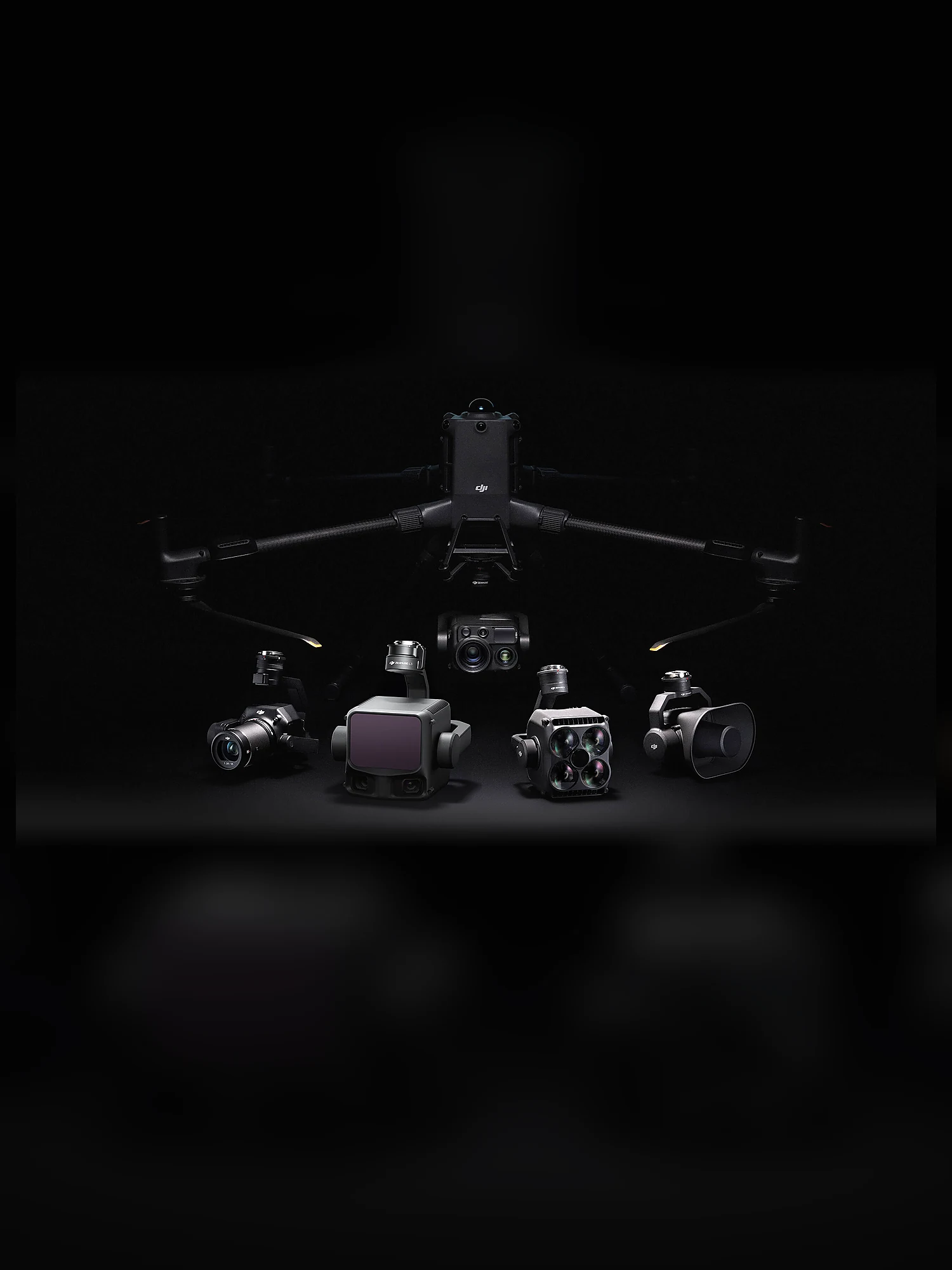
The DJI Matrice 400 supports up to seven payloads at once, including the Zenmuse H30, P1, L2 and L3, spotlights, speakers and many more. It adapts easily to any type of operation – whether urban mapping, maritime surveillance or filming buildings.
A particular advantage is the option of a three-gimbal configuration and multiple E-Port connectors, which opens up the use of third-party payloads and further customisation for specific tasks.
Advanced transmission and communication systems
The DJI Matrice 400 uses the O4 Enterprise Enhanced Video Transmission system, which allows video transmission at distances of up to 20 kilometres. Thanks to ten antennas on the drone and a high-gain phased-array antenna system on the remote controller, the signal remains stable.
The Airborne Relay function is also supported, in which one drone acts as a relay for another, significantly increasing range and operational flexibility.
Intelligent flight modes
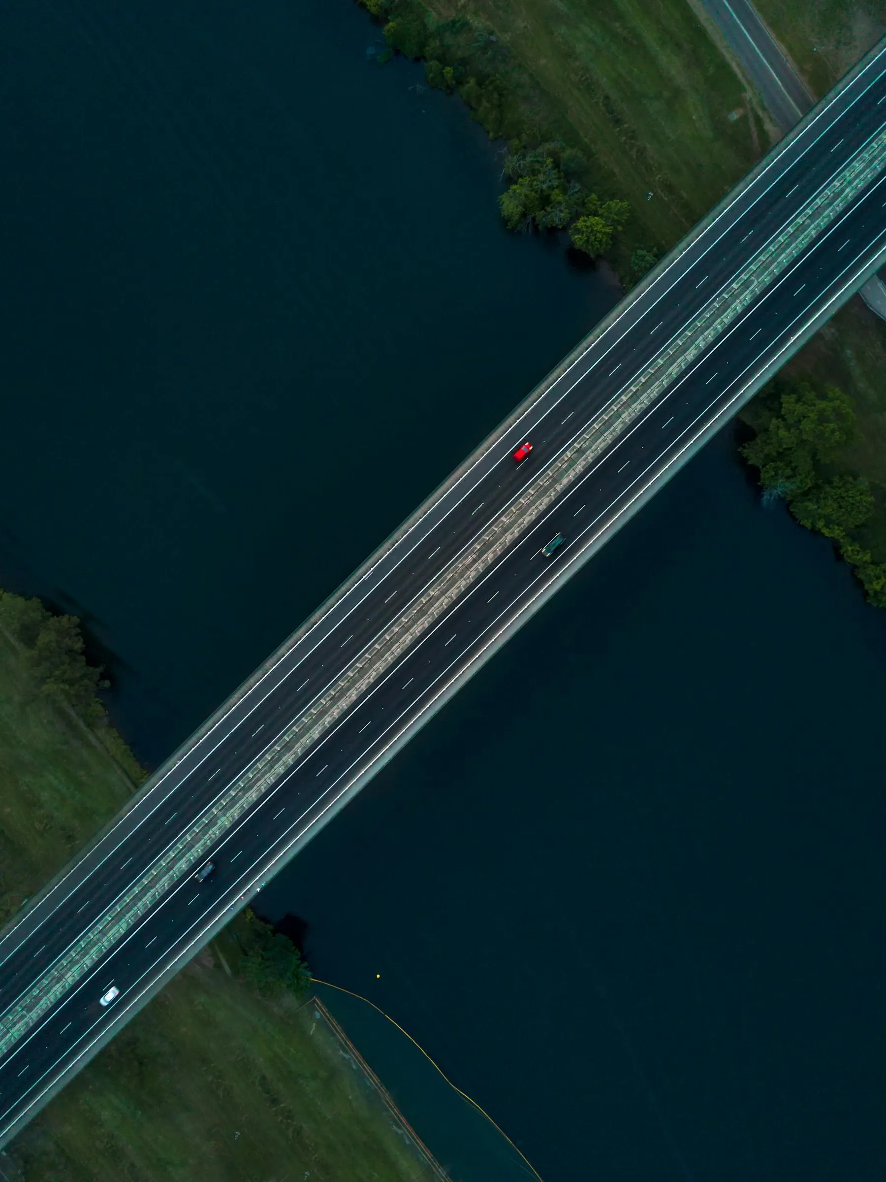
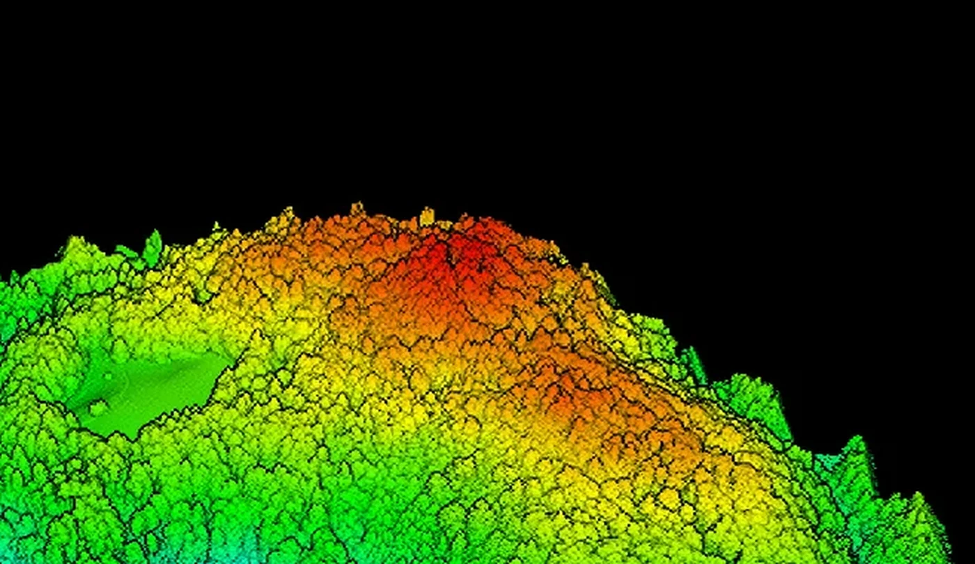
The DJI Matrice 400 enables advanced automated missions such as FlyTo, Smart Track and POI (point of interest). A particularly useful function is Real-Time Terrain Follow, which maintains a stable altitude above uneven ground. This produces precise mapping data without the need for manual altitude adjustments.
Smart AR projections help pilots in real time. Virtual power line paths, building names and key roads are displayed on the remote controller screen – even at night. During return to home, an AR shadow of the drone is also shown, making precise landing easier.
Adapted to demanding tasks
In maritime missions, the DJI Matrice 400 can safely take off from and land on vessels – even when they are moving. Its ability to recognise patterns on the deck ensures precise landing.
For automated missions along power lines, the DJI Matrice 400 SP Plus COMBO uses a rotating LiDAR that recognises and avoids lines, reducing the need for pilot intervention.
Accessories for maximum efficiency
Alongside the drone, advanced accessories are available, such as the DJI RC Plus 2 remote controller with a rugged housing and a high-brightness screen. The TB100 battery supports up to 400 charging cycles, while the tethered version allows continuous flights. The BS100 station enables fast and quiet battery charging, while the D-RTK 3 station provides precise positioning for several drones at once.
Conclusion
The DJI Matrice 400 is a modular platform for professional users. It can be configured for surveillance, inspection, search or mapping, depending on the sensor and operating conditions. Modularity, the choice of sensors and supported operating modes make it adaptable to a wide range of industrial tasks.