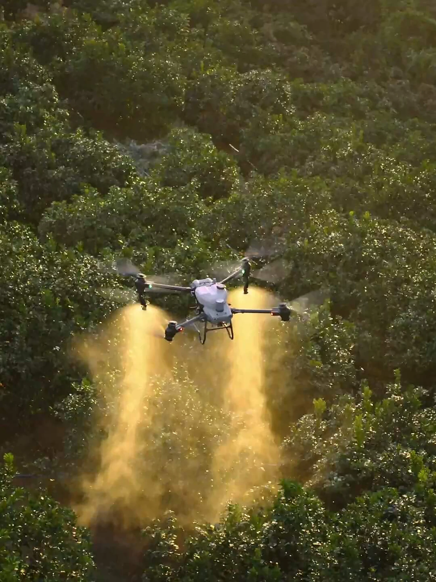
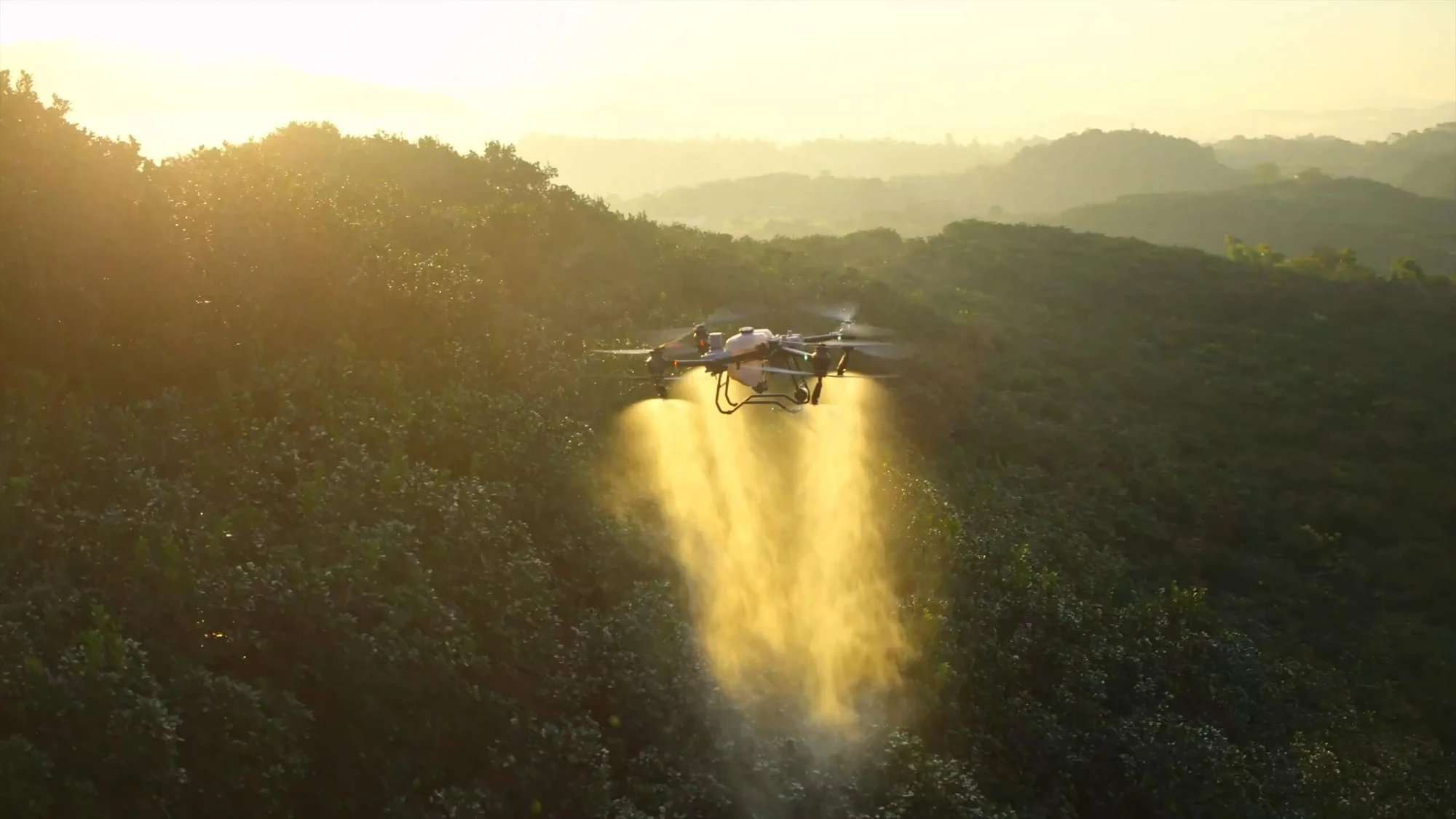
DJI Agras T50 agricultural drone spraying an orchard
Services / [Multispectral / crop maps / targeted zones]

Agricultural drone services in Croatia

Agricultural drone services help reveal differences within a field that are hard to see from its edge. Multispectral and RGB imaging can isolate zones with different vegetation condition, document changes and guide field inspections. For farms in Zagreb, Zagreb County and elsewhere in Croatia, we plan surveys according to the crop, growth stage and the decision the grower or agronomist needs to make. The map is the start of an investigation, not an automatic diagnosis of plant health.

01The agronomic decisioncrop, growth stage and the problem to check
02Capture and calibrationconsistent coverage and control of conditions
03Zone mapbasis for field visits, sampling or a treatment plan
[Short answer]

Who provides multispectral agricultural imaging in Croatia?

EnergizeDrone, a brand of Energize Intelligent Solutions d.o.o. from Zagreb, provides RGB and multispectral field imaging, maps of vegetation differences and base data for targeted field inspections. The result helps select zones for visits, sampling or planning, but the agronomist or grower on the ground confirms the actual cause of an observed pattern and the appropriate intervention.

01Method

A comparable flight before an attractive map

For monitoring through the season, a repeatable plan, the crop’s growth stage, light, weather and notes from the ground all matter. EnergizeDrone plans the survey around the question the map should help answer.

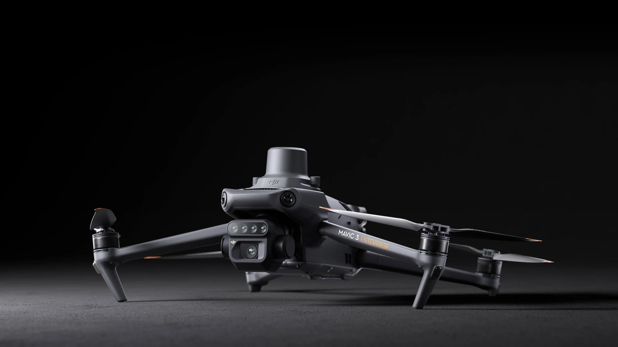
Multispectral platform
02Limitation

A vegetation index is not a plant diagnosis

A similar difference on the map can be caused by water, soil, nutrients, growth stage, disease or survey conditions. That is why isolated zones are checked in the field before deciding on treatment or any other intervention.

[Applications]

When this service gives you useful data

The most useful project starts with a specific question: where to inspect the crop, how to compare two zones or what to monitor through the season. An index without agronomic context can be interesting, but it is not enough for a good decision.

01Application

Vegetation index maps

A multispectral sensor records selected parts of the spectrum from which indices such as NDVI and related views can be calculated. The map shows relative differences within the surveyed field. These differences can have several causes, so isolated zones are checked on the ground and compared with the crop, soil, moisture and work carried out.

DJI Mavic 3 Multispectral over farmland 02 Application

Targeted field visits

Instead of walking randomly across the whole field, the map can help choose representative and deviating zones for inspection or sampling. The agronomist or grower then checks the actual condition at those spots. Combining an aerial survey with knowledge from the ground reduces the risk of drawing the wrong conclusion from a colour on the map.

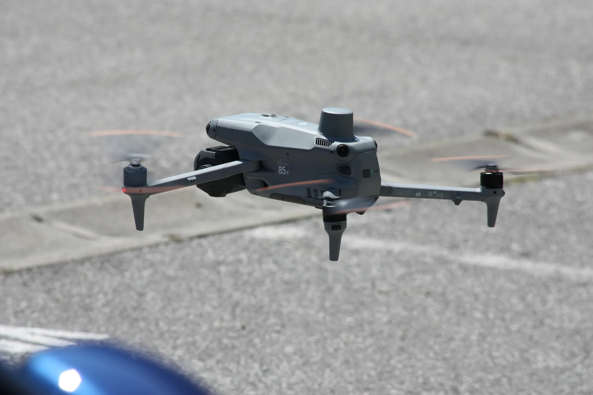
Compact drone in flight for repeatable imaging of a selected area 03 Application

Monitoring change through the season

Repeated surveys following a comparable plan can document crop development and changes between dates. For a fair comparison it is important to record the growth stage, weather conditions and any interventions. We organise the results by date and field so trends can be viewed alongside the grower’s notes.

DJI Agras T50 agricultural drone treating an orchard 04 Application

Base data for targeted treatments

When field verification confirms the need, a zone map can serve as base data for further planning of treatments or other work. Execution depends on the crop, the product, the equipment, applicable rules and expert recommendation. Drone data does not replace an agronomic plan or authorisation to apply a particular product.

[From enquiry to delivery]

What the process looks like

Agricultural imaging is adapted to the biology of the crop and the decision on the farm. The same map does not have the same value at every growth stage, so before the flight we agree on what is to be compared and how the findings will be verified.

01

Discussing the crop and the goal

We ask for the field boundaries, crop type, growth stage, known differences in soil or irrigation and a description of the problem. If an agronomist is involved, we align the criteria they will use to choose zones for checking. This avoids producing a generic map without a clear application.

Indicative timeline: confirmed in the quote after reviewing the site.
02

Flight plan and survey conditions

We select the sensor, altitude, overlap and timing that suit the crop and the comparison required. We check airspace, access and the safety of people in the field. For multispectral work we take light and the necessary reference procedures into account so the data is more consistent. Where applicable, we check Croatian Civil Aviation Agency (HACZ) procedures, airspace conditions and use of the AMC Portal before confirming the flight.

Indicative timeline: confirmed in the quote after reviewing the site.
03

Data capture in the field

The mission covers the agreed extent, and the operator checks the quality and completeness of the data. Relevant conditions and observations from the site are recorded. If the crop condition, wind or another circumstance makes the data unreliable, the extent and continuation of the survey are reassessed.

Indicative timeline: confirmed in the quote after reviewing the site.
04

Processing, zoning and verification

The images are turned into an orthomosaic and the agreed thematic views. We isolate relative zones for field visits but do not assign them an unverified agronomic or plant-pathology cause. We deliver the result in a form that can be used in the field or in a GIS process, with a recommendation to check representative spots.

Indicative timeline: confirmed in the quote after reviewing the site.
[Equipment and data]

Equipment chosen to suit the task

For vegetation maps we use multispectral and RGB sensors, while a separate platform is considered for operational agricultural tasks. Each part of the process has different risks and regulatory requirements, so surveying and treatment are contracted separately when necessary.

01Equipment

DJI multispectral platform

Multispectral data allows reflectance to be compared across several spectral bands and thematic maps to be produced. The result is always interpreted alongside the condition of the field.

See the multispectral drone
02Equipment

DJI Agras T50

A platform designed for operational agricultural tasks shows the possibilities of targeted application and work in the field. The specific execution is determined by the crop, the product, the rules and safety conditions.

See the DJI Agras T50
03Equipment

Spatial base data for the field

An orthophoto and zone boundaries make it easier to link findings with field notes. When more detailed spatial analysis is needed, we include mapping procedures.

Land and 3D surveying
[Locally and across Croatia]

Service area

We organise the service for farmland in and around Zagreb, especially in peri-urban and rural zones, as well as in Velika Gorica, Samobor, Zaprešić, Dugo Selo and Sveta Nedelja. For suitable projects we work on farms across Croatia. The date and scope depend on the crop, growth stage, weather, airspace and access to the field. For an initial plan, send the boundary or ARKOD (Croatian land parcel register) view if you are allowed to share it, the area, crop, survey goal and the contact details of the agronomist or responsible person.

DJI Agras T50 spraying an orchard
[Transparent assessment]

Price of agricultural drone services

We do not publish a made-up starting price before the actual scope is confirmed. We prepare the quote after reviewing the site, the survey goal and the expected deliverables, so the items and limitations are clear before a date is agreed.

What affects the price

The scope is mainly affected by the area and number of fields, the crop, the chosen sensor, the vegetation indices required, survey frequency and the desired map format. Additional regulatory procedures, travel costs or repeat surveys are listed separately when needed.

How to get an accurate quote

Send the location or a map link, the approximate area, the purpose of the material, the desired format and the deadline. We will reply with the proposed method, quote items and a realistic date.

[FAQ]

Frequently asked questions

The answers explain the general process. Exact feasibility depends on the location, airspace, weather, equipment and the purpose of the data.

Send another question
Does an NDVI map show crop disease?

Not directly. A vegetation index shows relative differences in plant reflectance, and a similar pattern can be caused by various factors, such as growth stage, water, soil, nutrients, disease or the way the images were captured. That is why suspicious and representative zones are checked on the ground with agronomic knowledge before a decision is made.

When is the best time to survey a field?

The timing depends on the crop, the growth stage and the question you want to check. For comparison through the season, it is important to repeat a sufficiently similar procedure and record the circumstances. Strong wind, precipitation, uneven light or a recent treatment can affect the quality and interpretation of the data.

Can you produce a map for targeted treatment?

We can prepare spatial base data and zones when the captured data and field verification support it. The map itself is not an instruction to apply a product. The treatment plan must be aligned with the crop, regulations, the registered product, expert recommendation and the capabilities of the equipment that will carry out the task.

How large does a field need to be for a survey to make sense?

We do not set a universal minimum or maximum without context. The value depends on the field’s variability, the goal, the sensor, access and the decision that follows the survey. For a smaller area a field walk is sometimes enough, while on a larger area a map can make it much easier to choose where to inspect.

What should I send for an assessment?

Send the location and field boundary, area, crop, growth stage, a description of what you have observed and the decision you expect to make. Tell us whether you want a one-off survey or a comparison over several dates. If you have agronomic notes or maps of previous work, they can help plan a meaningful extent. For a definitive answer we first review the specific site, goal and conditions of the planned activity.

[Next step]

Request a quote

Send the field boundary, crop, growth stage and the question you want to check. Based on this we can propose the type of sensor, a suitable time for the survey and how you will link the map with a field visit.

Energize Intelligent Solutions d.o.o.
Trnjanski nasip V. 28, 10000 Zagreb, Croatia
+385 95 822 6318 · [email protected]
Mon–Fri 08:00–17:00