

01Deliverables
The data must match the decision
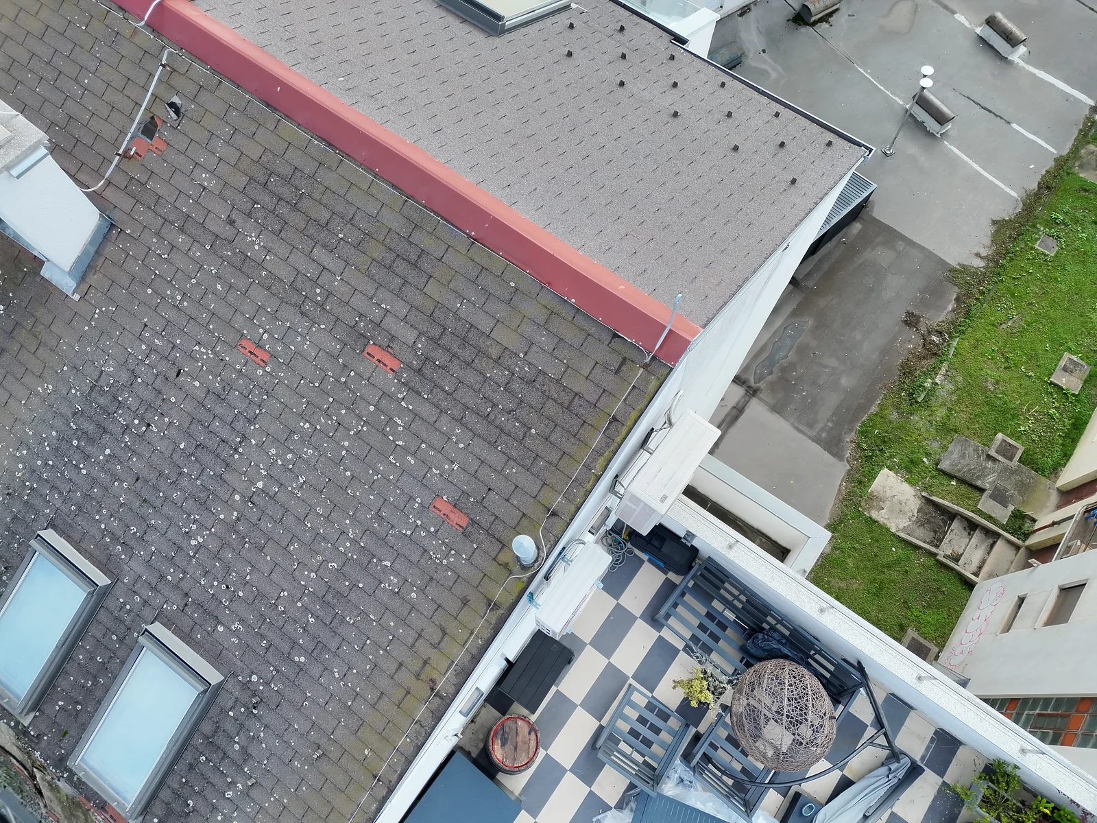
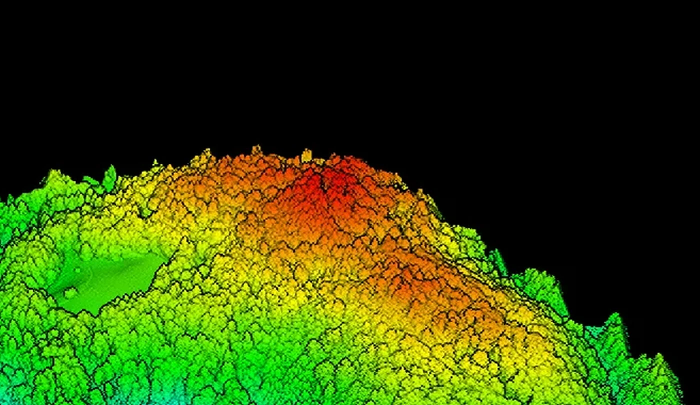
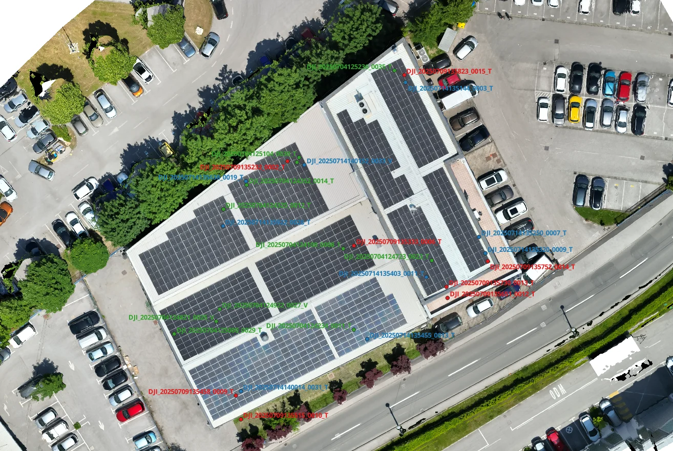
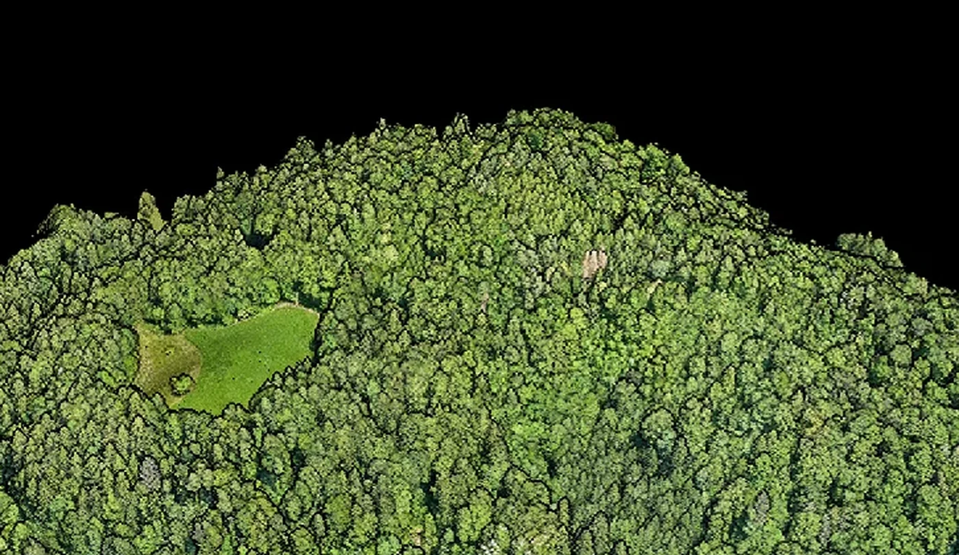
Before the flight, a professional contractor checks whether the project needs an orthophoto, a photogrammetric point cloud, a surface model, LiDAR or a combination. EnergizeDrone adapts the format and scope to the client’s CAD, GIS or documentation workflow.
LiDAR service and a real example